North America’s continental divide contains stunning peaks and wild protected spaces which give rise to some of the world’s most renowned hiking trails. Most notably, the Continental Divide Trail (CDT) runs 3100 miles up the spine of the Rocky Mountains from Mexico to Canada. North of the Canadian border, the Great Divide Trail (GDT) continues traversing the divide for a further 700 miles through even more prominent peaks, larger icefields, and wilder spaces. When the GDT finally ends in Kakwa Lake Provincial Park it terminates not because the divide has ended or the peaks have faded from their lofty heights. Rather the trail ends because the landscape has become so wild and rugged that human use has become too scarce to maintain a continuous hiking trail any further. Thus the divide lays, beckoning, in a largely intact and wild state to the would-be adventurer to continue northwards.
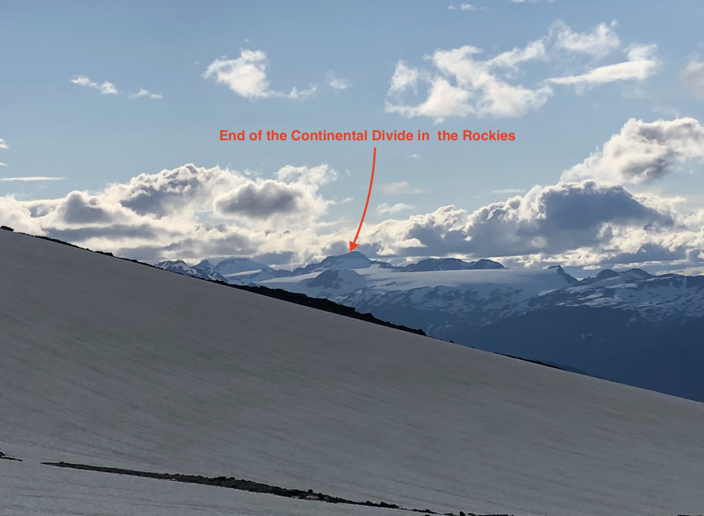
In the past two centuries, fewer than 5 parties have attempted a journey north from Kakwa for a substantial portion of the Divide and only one of those groups – Walkin’ Jim – completed a route largely true to the divide (the other parties were pulled eastward into mellower terrain near the prairies). In 2001, the late Walkin’ Jim and his partner spent 17 days pioneering a high route along the divide from Kakwa Lake to the next practical resupply point at Monkman Provincial Park. More than just a resupply point, Monkman lays as a natural geographic endpoint for a hike on the continental divide because Monkman marks the end of both the continental divide in the Rockies (from here the divide cuts east into the lowlands of central BC) and the big peaks of the Rockies (From Monkman the Rockies fade out for several hundred kilometers such that Monkman’s Barton/Vreeland icefield is the last icefield for 350 km and one of the last peaks over 8000′).
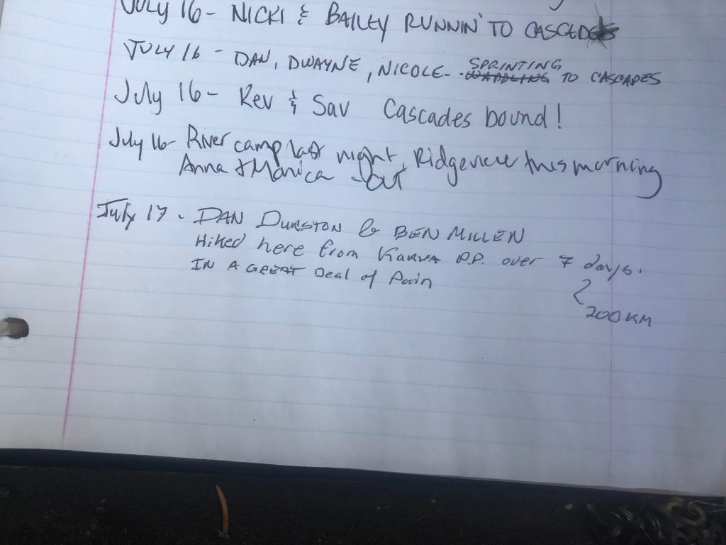
Building off Walkin’ Jim’s accomplishments, in 2022 my hiking partner Ben and I spent 7 days undertaking a similar route (hereafter called the Great Divide Route or “GDR”) while taking it even higher, closer to the divide, and into new terrain during our 195 km / 117 mile trip. This is the story of our hike combined with some beta for those similarly inclined.
Map:
Here is a map that shows our trip which is mostly GPS data but sketched in a few spots where we didn’t record. Also present are access roads and some sketched lines indicating possible improvements to the route.
Day 1 – 40 km
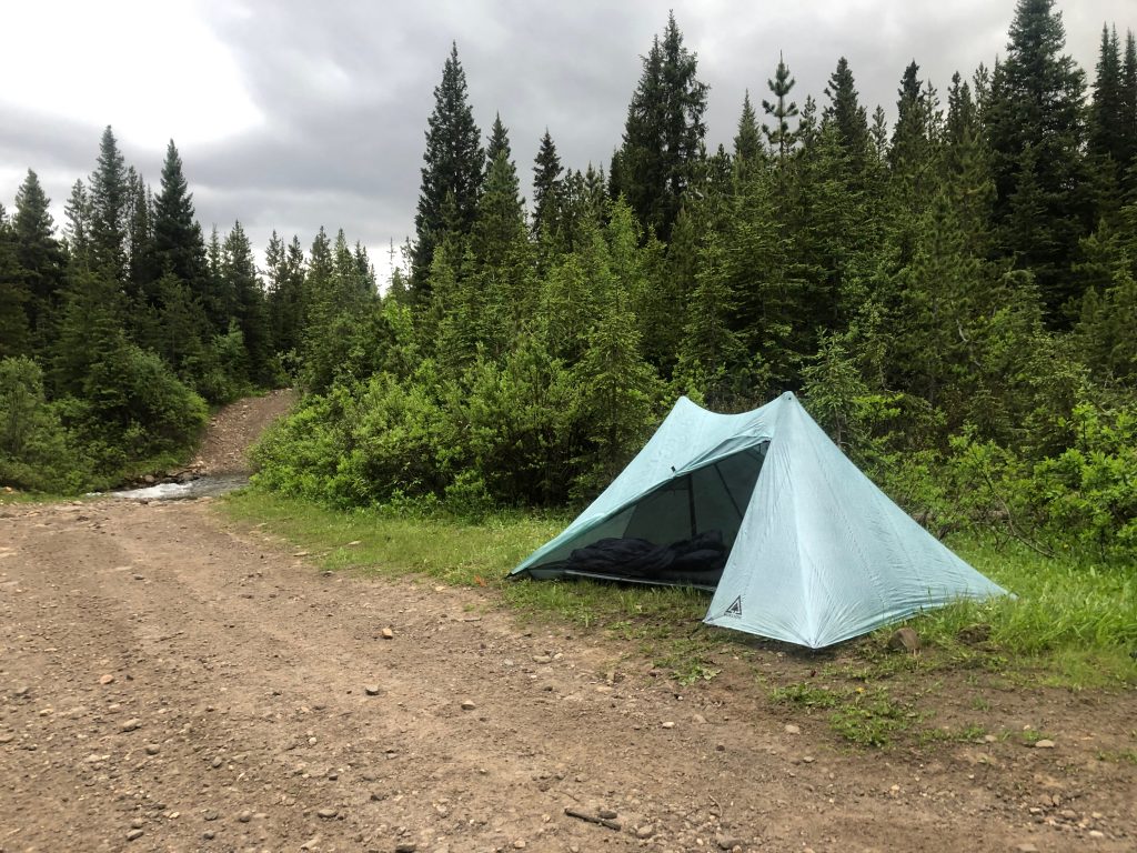
Late on July 10, 2022 our kind shuttle driver dropped Ben and I off at the desolate Lick Creek Trailhead. As he drove away, a nervous feeling settled in my stomach as we became solidly committed to a route that held a lot of difficulty and uncertainty: unknown passes, a big river crossing, substantial lingering snow, and potentially lengthy sections of bushwhacking. We continued on foot for another hour or two towards the 4WD trailhead (18 km) before camping for the night alongside the old road.
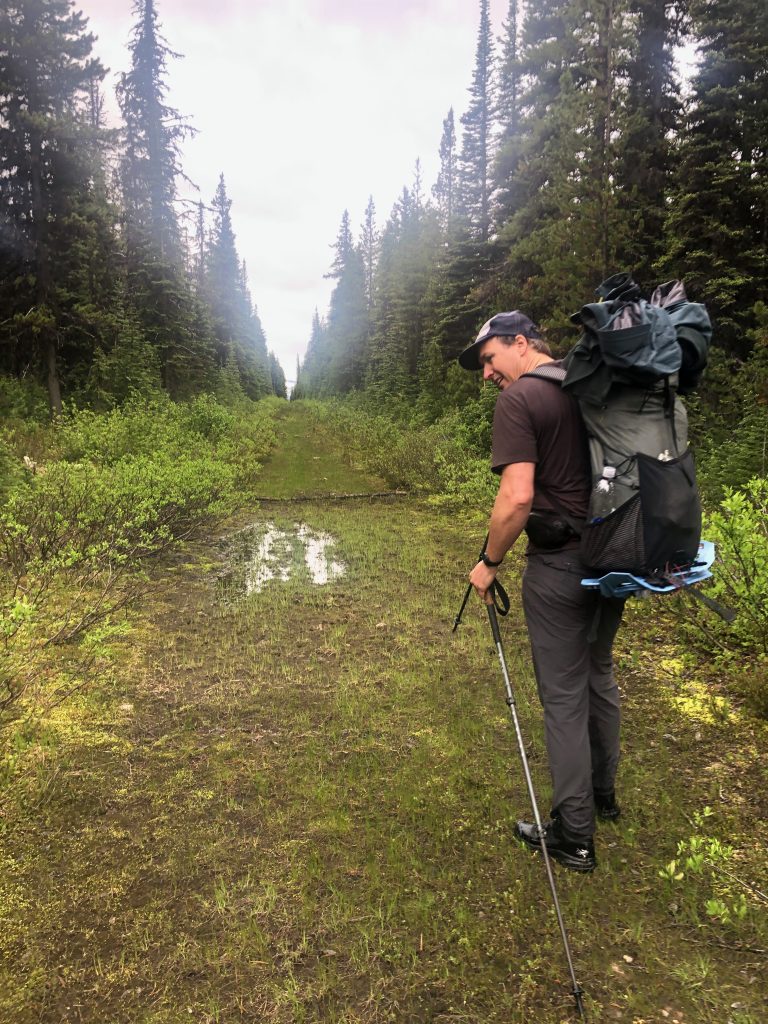
We awoke for our first full day of the hike with 30 km (18 mi) left on our approach to the Great Divide Route (“GDR”) plus another 10 km along the GDR to reach the cabin at Jarvis lakes – the last outpost of civilization until Monkman. We appreciated the easy 5 km/hr walking on the old road knowing miles hereafter would be harder fought. By mid-afternoon were at the turn off onto the Jarvis Lakes trail and by 5 pm had covered the 40 km to the cabin. Tired but in good spirits, we spent the evening swimming, grazing on food left in the cabin, and reading the log book. Interestingly, there was a map of the area upon which someone has annotated a snowmobile route and camp in the Narraway valley where we were headed to tomorrow. I sketched the camp’s location on my map in case there was some form of shelter here.
I was nervous as we headed to bed. To walk north from Jarvis Lakes is to become deeply committed to the route as the next bail point isn’t until Warner Pass (75 km of trackless wilderness away). I knew the route was possible since Walkin’ Jim had been through, but our food bags carried a lot fewer days of supplies than he had and we had new sections on our route. Hitting a major obstacle or just making too slow of progress could mean turning around and backtracking for days.
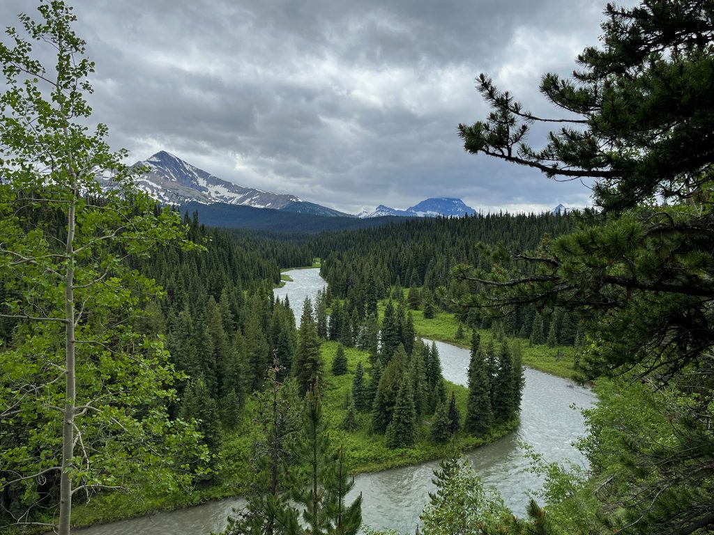
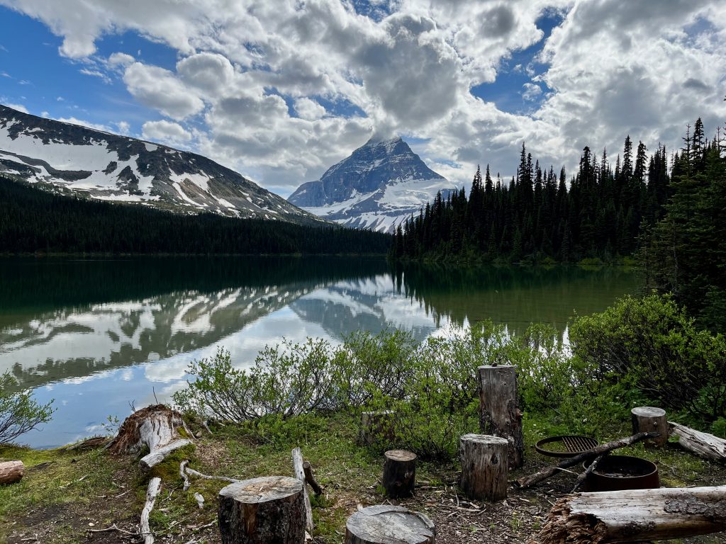
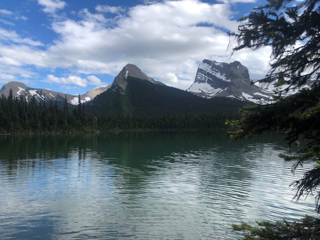
Day 2 – 24 km
Our second day held our first alpine stretch at Moonias Pass, followed by a descent into the Narraway Valley. The Narraway is largest valley we have to cross on the trip (the divide here is heavily glaciated) and thus holds both the longest bushwhack and the largest river crossing. Our timing of early July combined with a persistently cold spring had meant that the snow melt had only recently started in earnest and we expected the river crossing to be a substantial swim.
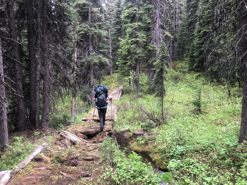
From the Jarvis Cabin we walked several kilometers along the increasingly faint trail until we reached a burn below Moonias Pass where the trail was finally snuffed out. From here we quickly ascended through the open burn to reach the pass itself where stunning views of Mt. Ida awaited. Mt. Ida has an iconic pyramid shape rimmed with glaciers and is so beautiful it used to be a cover image on BC Parks literature. At Moonias Pass we navigated around several shallow lakes and encountered a small herd of caribou. Caribou used to be common throughout the Canadian Rockies but a variety of human stresses have reduced their range severely and now only a few small herds are left – making this sighting quite special.
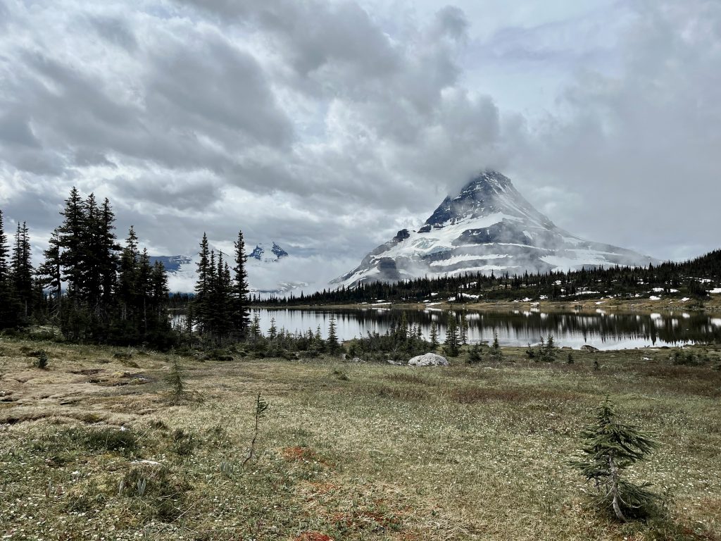
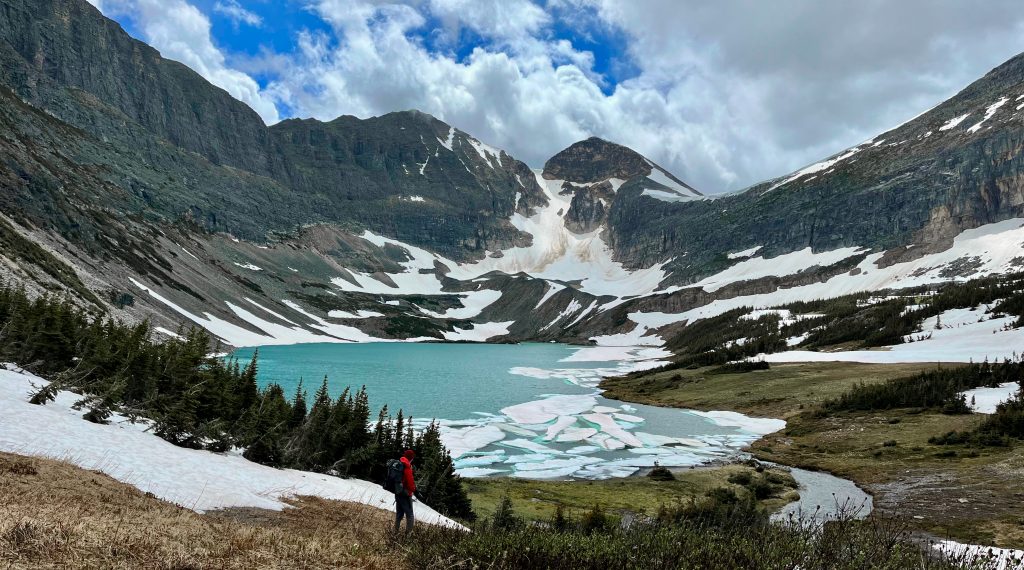
Across Moonias pass, we arrived at Moonias Lake with its stunning deep blue color. We huffed over the steep headwall behind Moonias lake to cross into the Narraway valley. On the backside of the headwall lay Fay Lake, which occupies a remarkable position below a massive cliff wall. The scene is reminiscent of Floe Lake in Kootenay National Park but cloud cover and partial ice on the lake prevented us from capturing its full beauty.
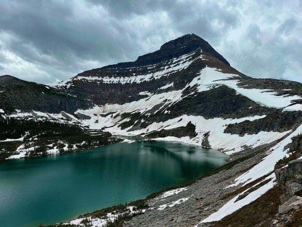
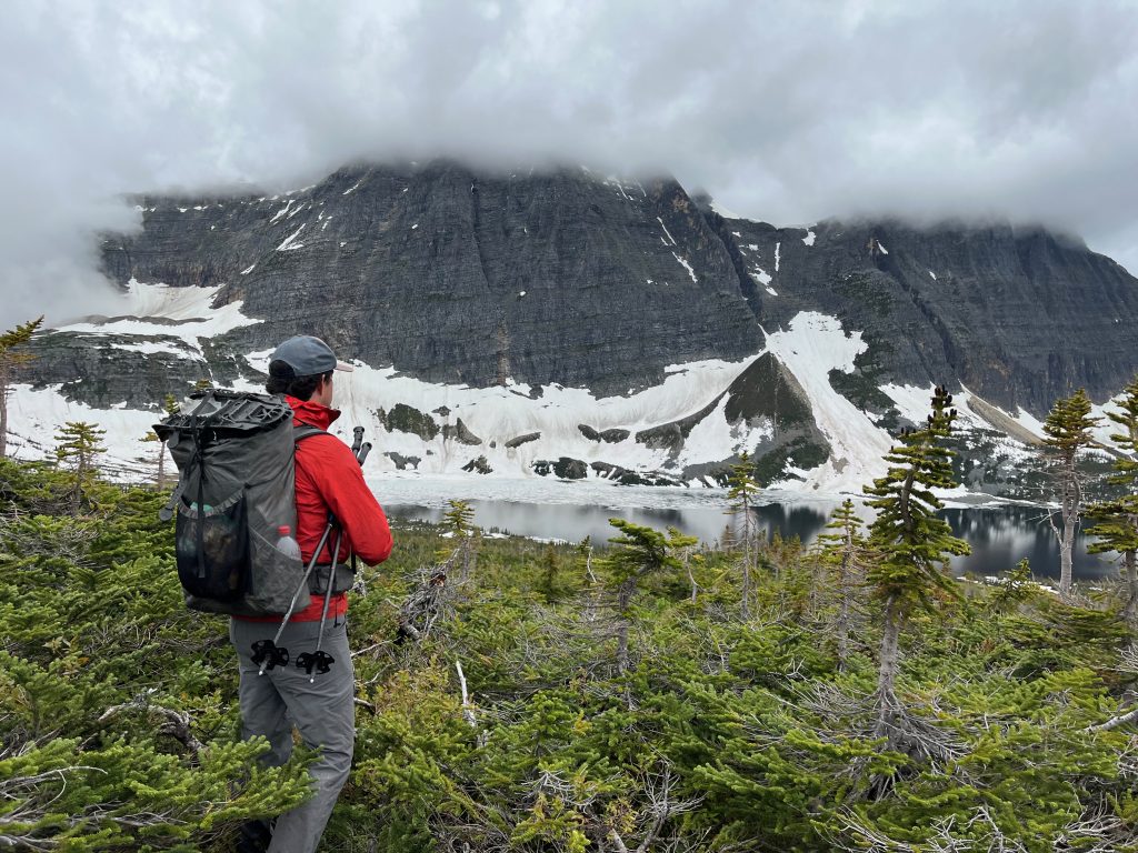
From Fay Lake we descended a tributary valley of the Narraway River. Our goal for the day was to get across the presumably large Narraway River and camp at the snowmobile camp at the other side, which we jokingly began to refer to as a ‘lodge’ out of baseless fantasy. The river was 8 km away and we made good time for several kilometers until the forest grew thicker. The final 5 km to the river degraded into a cold march as the vegetation thickened while the rain started and turned to intermittent sleet. We arrived at the river at 7 pm, having been soaked and cold for hours. The scene at the river was unsurprisingly grim, as snowmelt plus heavy rain had risen the muddy waters over the banks of the wide channel. We had the option to remain on our original side and follow the river upstream (as Walkin’ Jim had done and reported to be ‘great’ travel), but crossing here would allow us to climb back above treeline quicker and would let us access a nameless lake encircled by cliffs on three sides that looked like a gem too awesome to miss (hereafter Watin Lake after the nearby peak).
I was initially excited for the adventure of the river swim – well perhaps not the swim itself but the perverse pleasure of watching Ben attempt his first big river swim. However after hours of being cold the twinkle in my eye faded and we faced the task with somber determination. Gear was stuffed into garbage bags and soon Ben was standing on the edge probing the depths (which gave no hint as to their limit). It was obvious the river was much too deep to probe, so Ben lunged into the waters and began swimming. I followed quickly to prevent hesitation from turning into paralysis. Of course the river was ice cold and deep, but thankfully it was relatively slow moving and we made it across after 30 seconds or so. With teeth chattering, we set off along the far bank in search of our snowmobile ‘lodge’ which we now joked probably had a sauna. Minutes later we found the ‘lodge’, which of course turned out to be nothing more than pile of trash left by an irresponsible snowmobile party. We hurried into our tents for the night to warm up.
Day 3 – 21 km
Ben and I awoke to improved weather and were glad we had completed the swim the night prior. After a leisurely start we broke camp at 9 am. We made fairly good time as I followed Ben through looser forests and rock outcrops as we ascended towards treeline. By 10am we were into the subalpine and starting the “heart of the trip” as the next 40 km were almost entirely above treeline and often right on the divide – seemingly perfect high route trekking.
We left the Narraway valley through a gorgeous unnamed pass to the east of Watin Mountain, and wrapped around its flanks through another beautiful alpine bowl en route to the hidden bowl holding my cliff-rimmed Watin Lake. I’d never heard of anyone visiting this spot before, so I was excited to take in the scene and it didn’t disappoint. Rugged cliffs on 3-sides, beautiful blue-green water, and a perfect meadow for camping at the outflow. It’s hard to imagine a nicer spot to camp, but for us it was much too early in the day (1 pm).
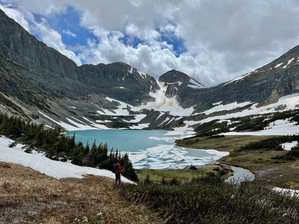
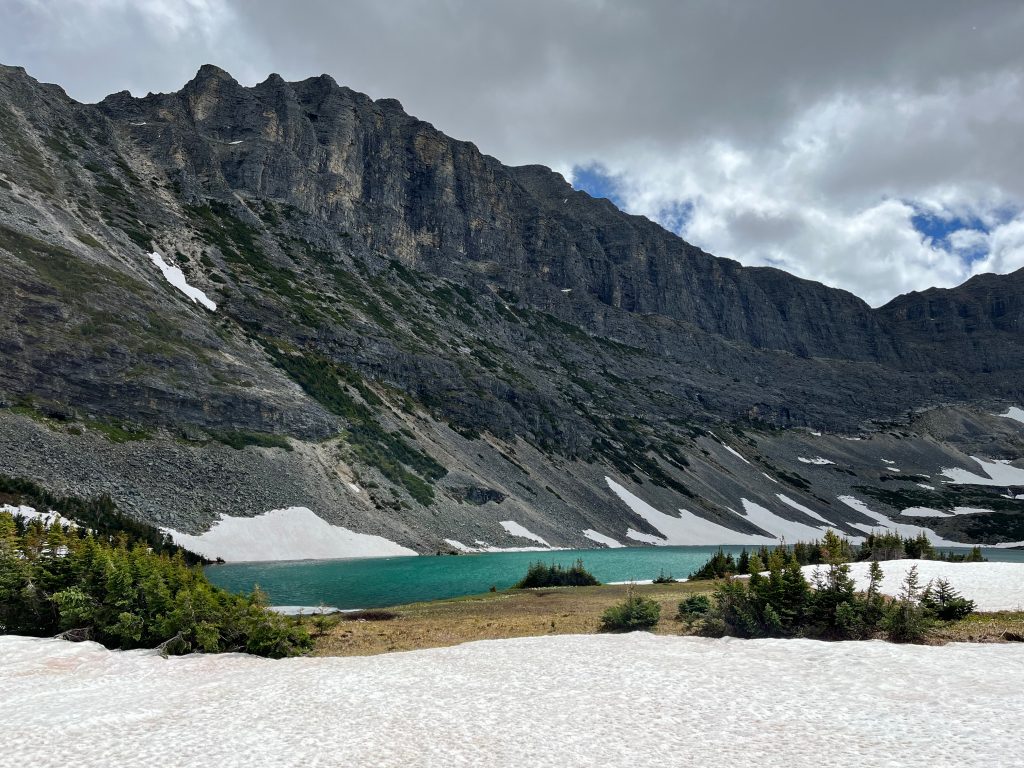
From Watin Lake we cut through several meadows to quickly descend to the headwaters of Belcourt Creek. This creek would normally be an easy crossing but we arrived at peak spring conditions and had to select our spot more carefully; eventually finding a fordable spot at a beaver dam (2 pm). We walked past more beautiful meadows for camping and remarked at how good the quality of the meadows has been on this trip, as we expected them to be marshy bogs this far north rather than the friendly footing that they were. In Walkin’ Jims trip report, they noted ancient fire rings in this area.
From Belcourt Creek we began the gentle climb to Amisk Lake and Natanik Pass beyond. Soon the outflow of Amisk Lake steepened to become a serious torrent and unfortunately we missed our chance to cross to the better eastern side, which meant rough travel through slide paths covered in willow and alder while enviously looking at the friendly walking on the far bank. Soon we left treeline behind and entered the alpine where we met two adult Grizzlies enjoying the spring vegetation who didn’t give us much attention. We gave them a wide berth and continued onwards to Amisk Lake (4pm), which was yet another absolutely stunning gem of a lake. If there’s one thing about this section of the divide that really stands out, it is the immense quality of the alpine lakes.
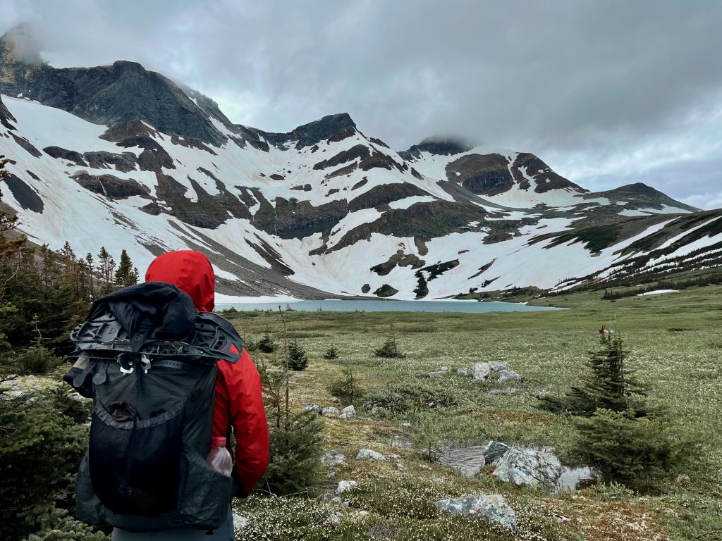
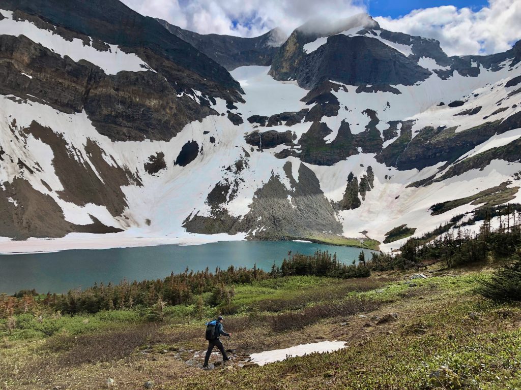
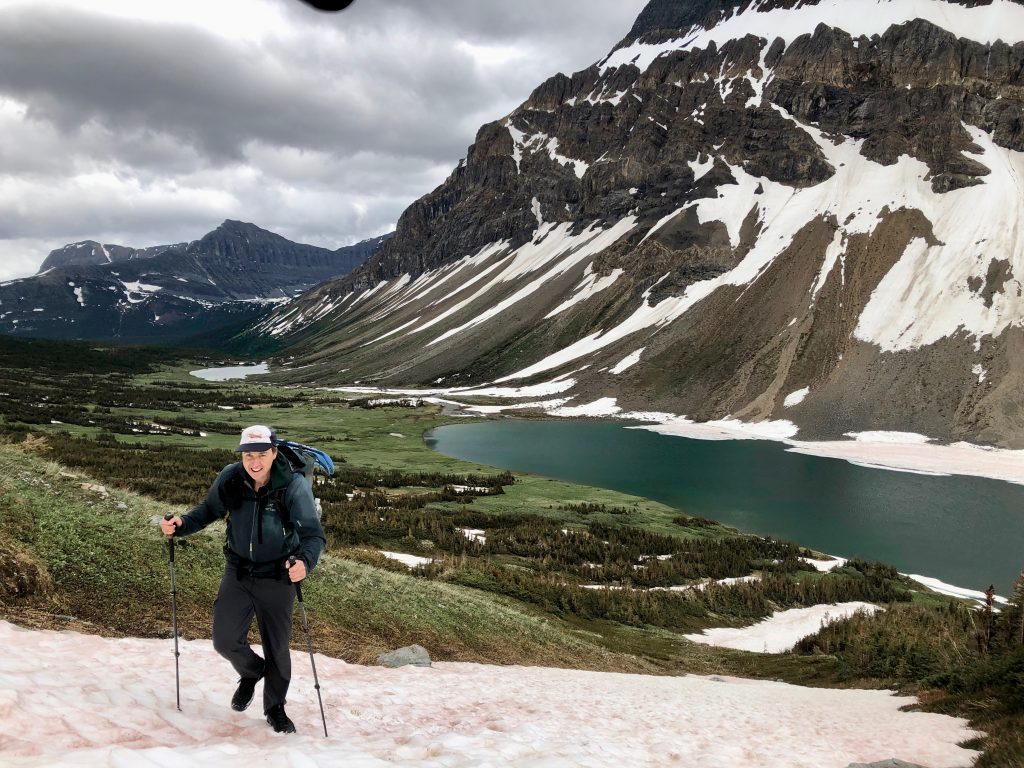
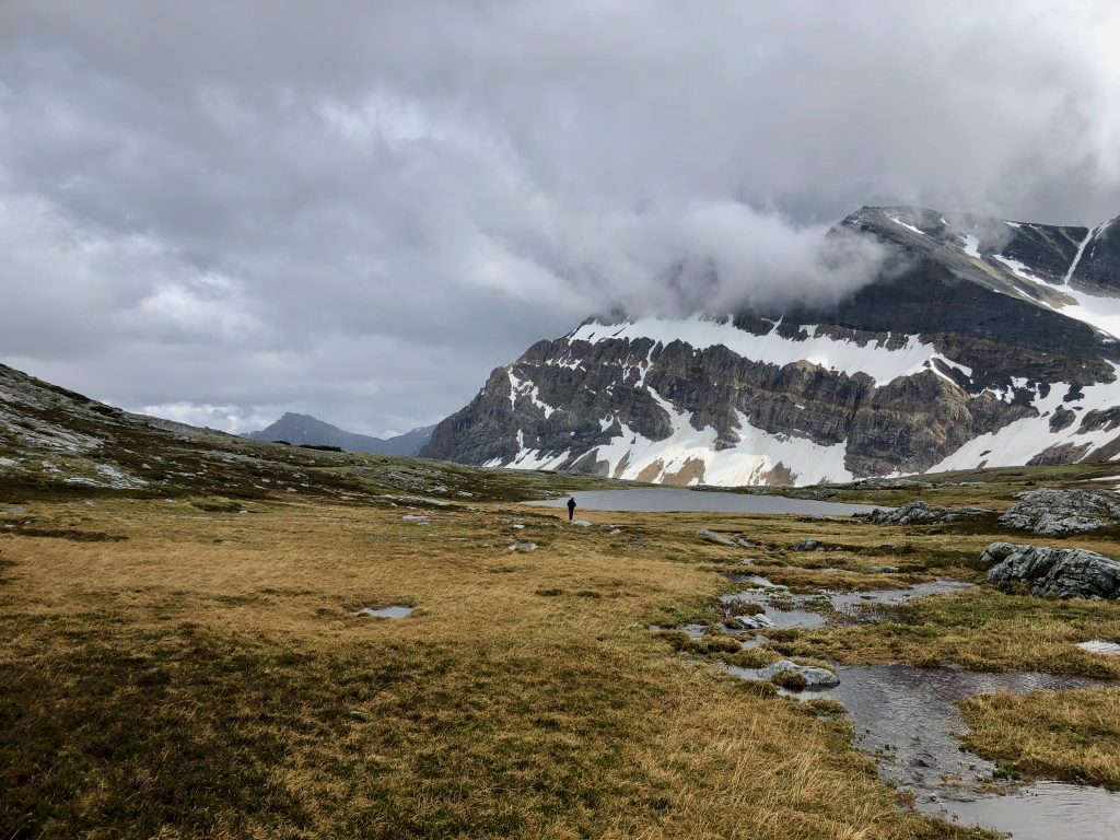
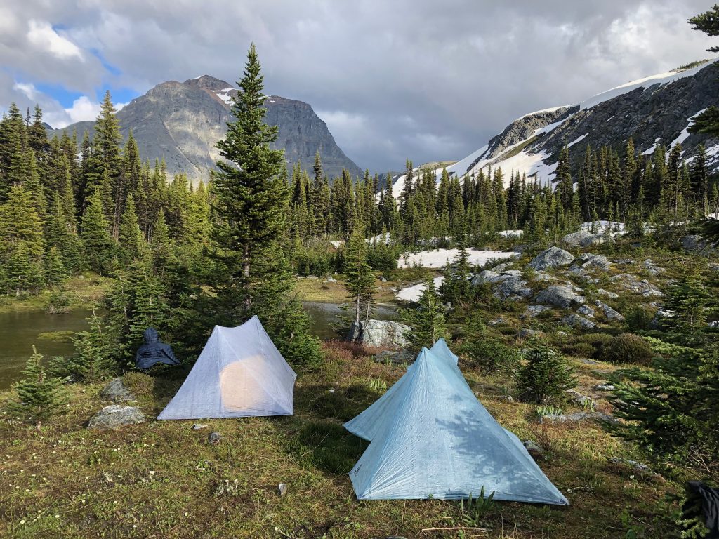
Behind Amisk Lakes lies Natanik Pass. We ascended the 800′ to the pass quickly as the weather worsened with occasional gales that rimed our eyes with ice pellets. We took a short break in a sheltered spot and then crossed the pass, which was beautiful in the moody light and held a smaller alpine lake on the northern side with yet more lower elevation lakes in the distance. We dropped 1000′ feet where some poor route finding briefly got us into some tricky cliff bands. By 6 pm we halted for the day at Herrick Pass beside a subalpine pond and heartily immersed ourselves in dinner. So far the trip was going well, but the sheer remoteness of our position continued to be intimidating. The nearest access point was 3 days in any direction.
Day 4 – 20 km
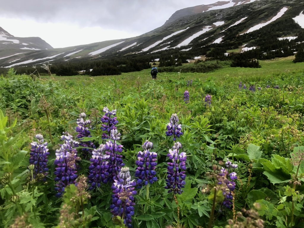
Herrick Pass sits right at treeline which was ideal for providing a sheltered camp while also allowing us to quickly rejoin the alpine. We broke camp shortly after 8 am and quickly climbed 1000′ to cross the divide (4th time) at a pleasant pass to the NE of Paksumo mountain (9 am). The backside held a wide open alpine bowl filled with vistas and wildflowers. Just a short ways off route to either side lay hidden alpine lakes that I was remiss to walk past without a glimpse, but our schedule and energy did not allow for side trips. Thus far we were putting in a solid physical effort with no breaks during the day and sometimes not even a sit down lunch (did we ever stop for lunch?). My legs were beginning to feel the effects of it, with some fatigue setting in and a growing throb in my knee (the usual IT band issue) but nothing unfamiliar. Ben also was starting to tire but we were in good spirits.
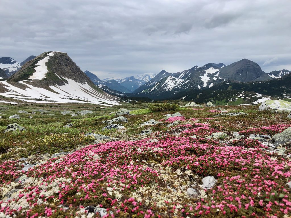
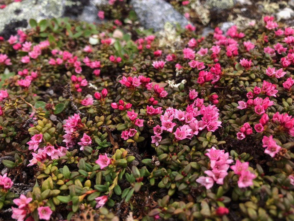
We made good time through 3 km of open alpine and continue to make good progress as we descended through the subalpine and then into thin woods rimming a lake near Paksumo Pass. We crossed the inflow of the lake at 11 am and took advantage of the handy modern convenience of satellite imagery to join a strip of meadow that provided easy passage back up to the alpine. Fields of glacier lilies carpeted the way as we crossed the divide again and wrapped around the steep alpine flanks of another unnamed mountain.
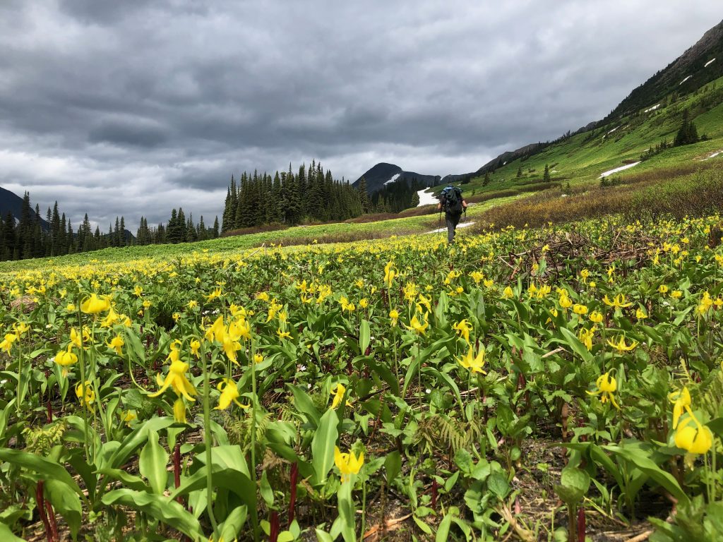
It was here that we faced the first real route decision of the trip. Thus far our route had been quite good — straightforward even – as the topography provides a natural and obvious high route line along the divide (aside from the Narraway Valley where glaciers on the divide had forced us lower). However north of Paksumo Pass the geography grows more complex and forces the explorer to choose between a greater number of less appealing options.
Likely the best choice from here was to turn east and cross the divide again at a very attractive looking pass (route sketched below) as Walkin’ Jim had done. Over this pass is another ~3km of alpine/subalpine followed by 5km through meadow strewn forests to reach Warner Pass where an ATV trail can be walked 28 km to vehicle access. In his journal, Walkin’ Jim appeared to make good time to Warner Pass and then resupplied out this ATV trail. For people interested in following our steps, a journey from Kakwa to Warner Pass via this route would be an excellent trip as the reward:difficulty ratio is quite favorable with no major hardships other than the long bushwhack and swim in the Narraway Valley (which might be a ford by August).
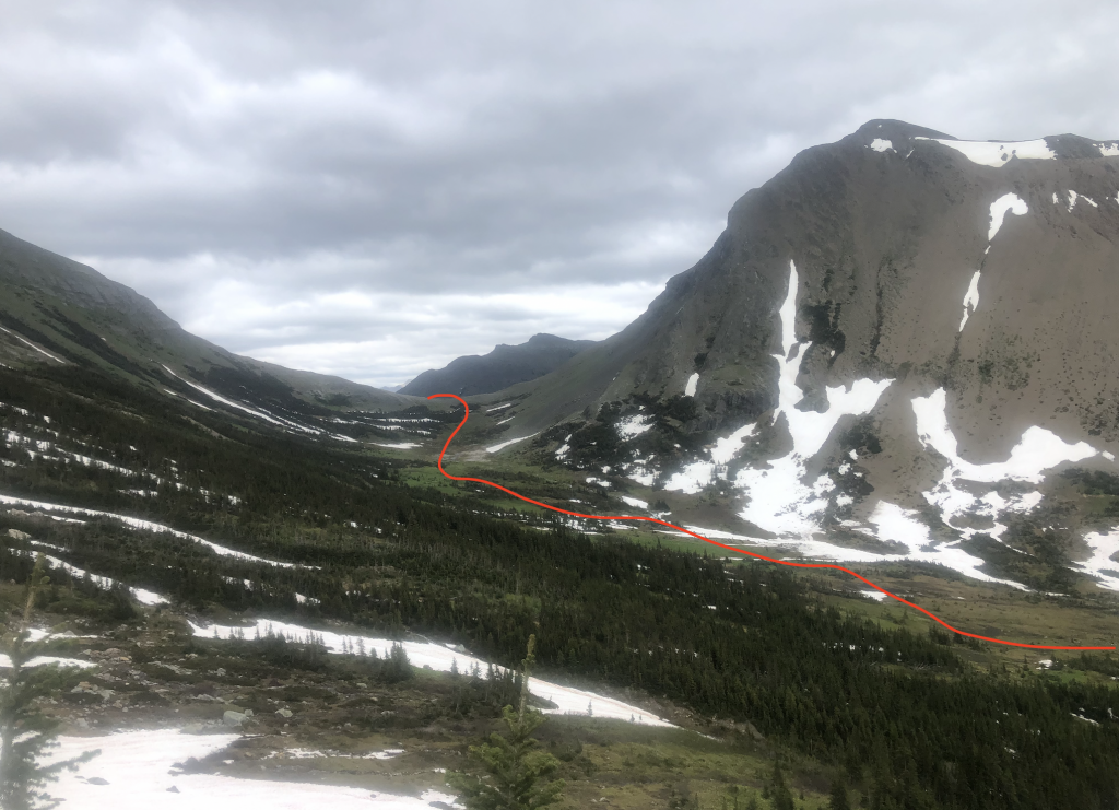
We, however, had other plans. I favored a more direct route to the north because immediately north of us lay an immensely attractive alpine ridgewalk. The ridge itself looked quite promising, but the grunt up to it looked substantial as did the descent at the far end. More problematically, beyond the ridge we had to cross lower terrain (3600 – 3800′) than we had been in up to this point (usually 5000 – 6500′ with treeline around 5400′) to get back to the divide, plus this was on the wetter west side of the divide (hint: thicker vegetation).
It was mid-afternoon (2pm) when we started the 1000′ climb to the ridgewalk. The slope reared steeper as we neared the top so we scrambled around the initial peak to join the ridge on the backside. The ridge was incredible of course and provided 5 km of good travel with stunning views.
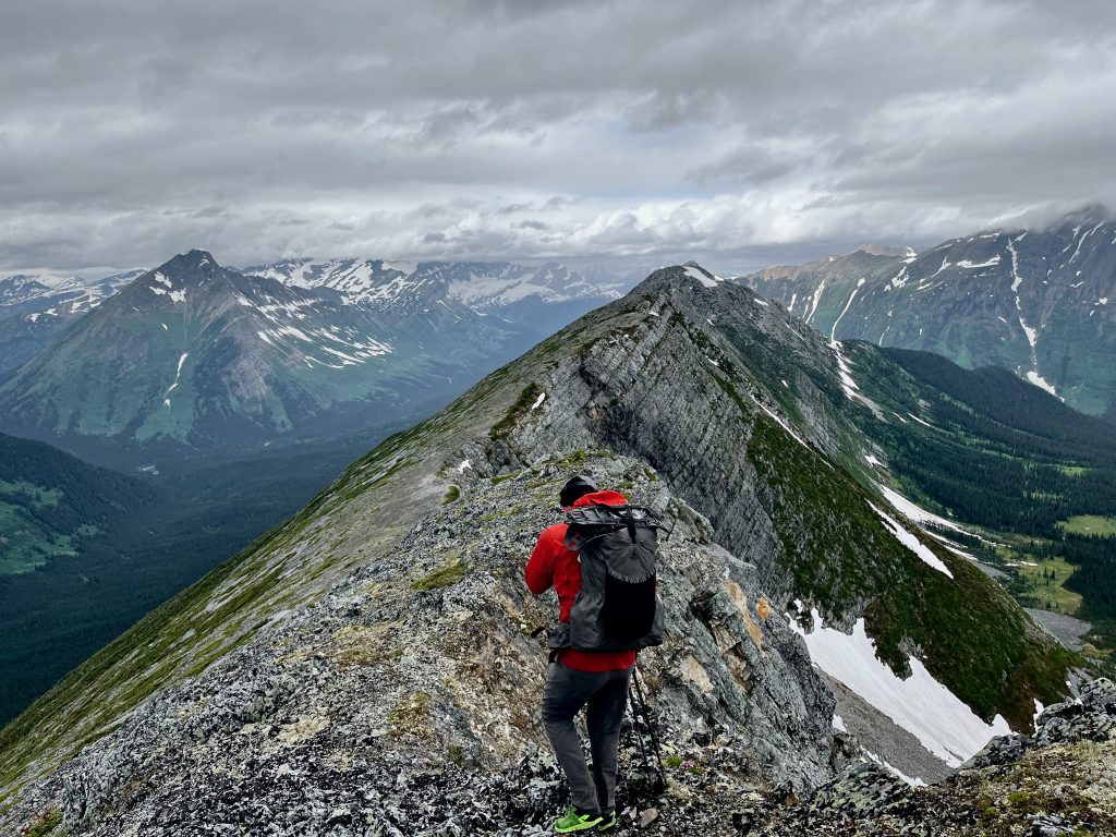
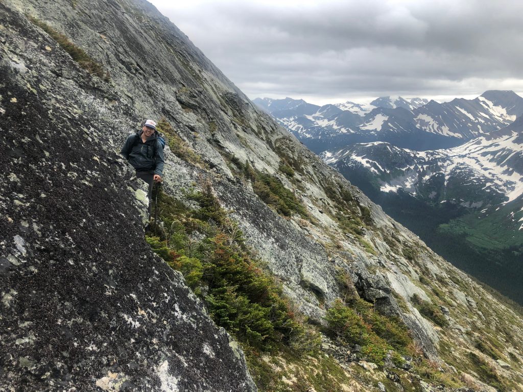
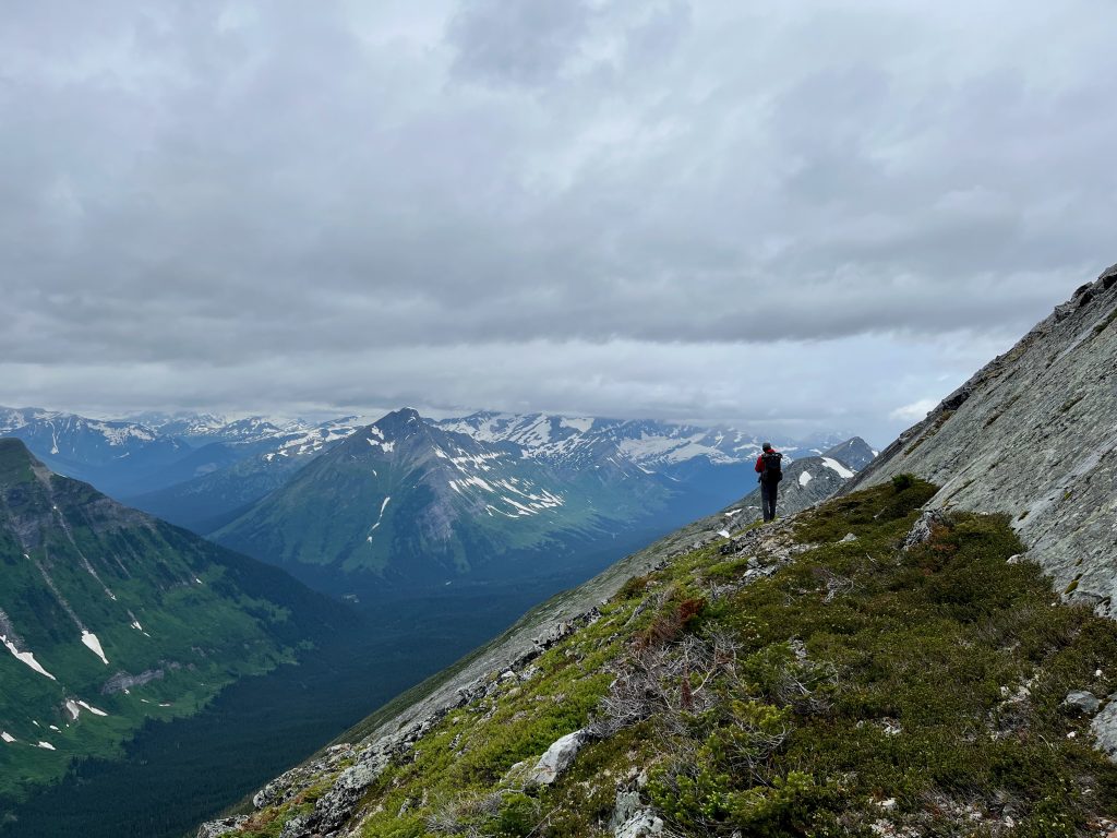
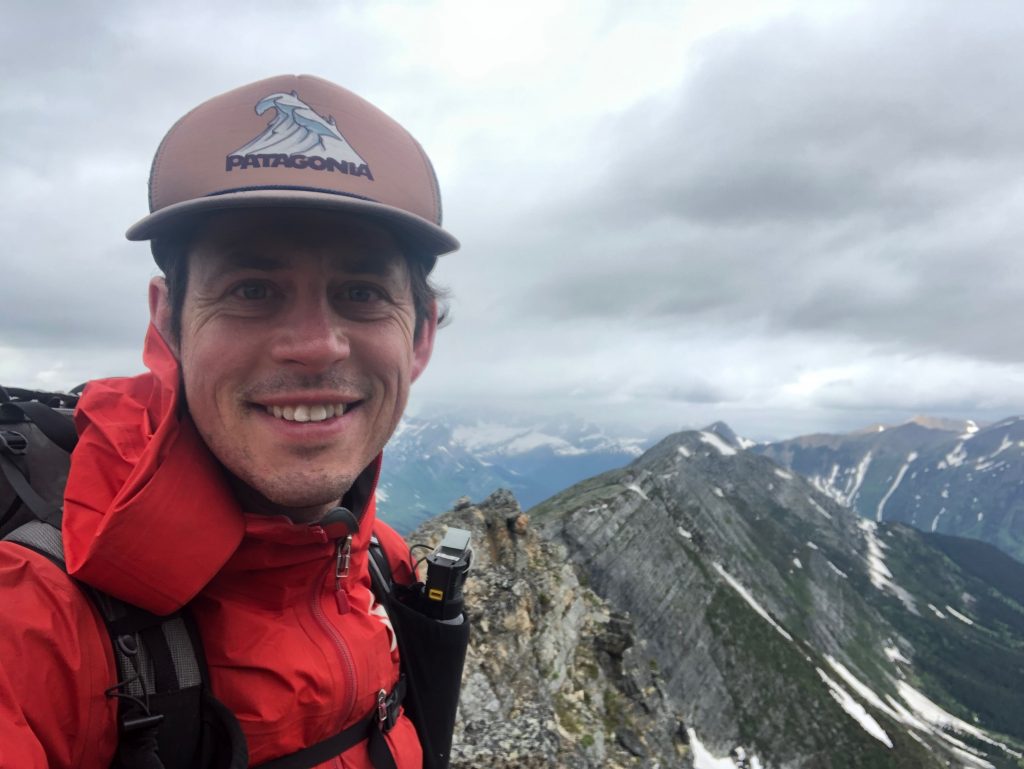
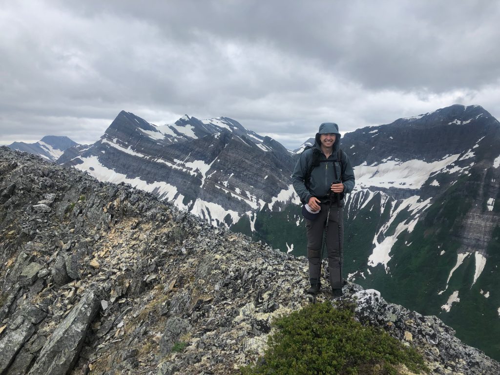
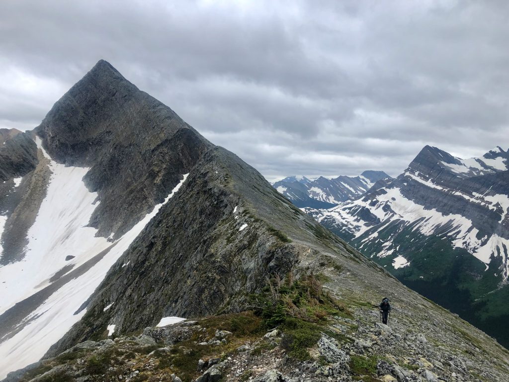
The climb to the ridge had taken a while (2 hours) and the ridgewalk another 1.5 hours, which meant it was 5:30 when we were perched on the far end facing a steep descent. After a tricky 1000′ descent, we found a soggy but workable meadow at treeline and set up camp for the night at 7pm – our longest day yet.
Day 5 – 18 km
While the ridgeline on day 4 had been incredible, it left us in a challenging position. My initial plan had been to descend to cross a tributary of the Framstead and then climb 2500′ right back up the other side to a second smaller ridgewalk, but the next climb looked highly unattractive due to the thick vegetation, steep slopes (up to 35 degrees), and sheer size of it. Thus, we opted to stay low and follow the main channel of the Framstead for a long, low elevation walk up the valley.
Leaving camp we were immediately into steep terrain with slick rhododendron. Progress was slow for the 1500′ down to the valley bottom. We broke camp at 7:30 – a record for us – but it took until 9 am to cover the 1.5km to the ford across the channel arriving from Warner Lake. From here progress was slow for another 2 hours until the thicker alder and devil’s club gave way to more open fern bottomed woodlands. We spent a further 3 hours wandering up the Framstead valley at an improved speed of 2-3km/hr through mixed vegetation of tolerable passage. The Framstead valley is not protected in a park, but the logging stops far downstream (thankfully) which had us wondering when the last time someone was in this neck of the woods.
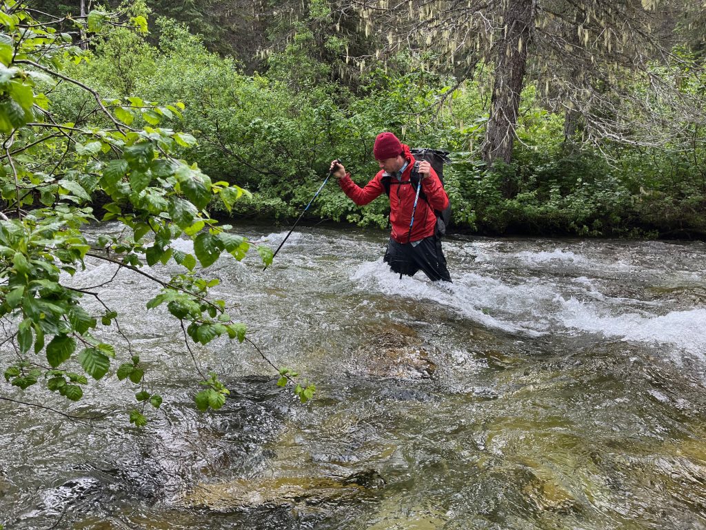
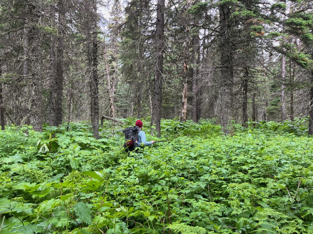
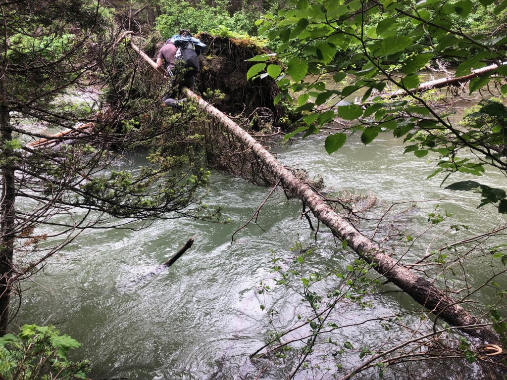
By 2:30 pm we had made our way 9 km from camp and past a sizeable tributary of the Framstead which I had hoped might allow us to ford the river and climb over the shoulder of Weaver peak to rejoin the alpine sooner. Unfortunately the river was hardly diminished above this point while also being rowdy enough that a swim was unattractive. Such circumstances are the crucible of adventure. If we couldn’t find a creative way across it would be a long walk upstream until it was fordable, so we proceeded along the bank while hoping fate would smile upon us.
Soon we did come across an interesting circumstance. A previous storm had ripped a large tree out of the bank and left it perched such that the rootball was in the middle of the river with its trunk laying on our bank. On the rootball lay the tip of a second slimmer tree which extended almost to the far bank. We assessed the double tree crossing opportunity and decided to give it a shot. We proceeded cautiously on the slippery wet log out to the root ball, and then climbed up and over the degrading rootball to reach the second tree. The smaller tree had just enough flex to keep things exciting. At the other side a small jump delivered me to the far bank. Ben followed and we completed the exciting crossing.
Unfortunately the route on the other side was not as friendly as I was hoping. The climb up to the shoulder of Weaver Peak was large (1800′) and steep with thick vegetation. We made slow progress to reach the top (3 hours; 5:30pm). On retrospect, we should have skipped the crossing and continued up the Framstead to walk 5 km around the shoulder which surely would have taken less than 4.5 hours, or better yet, not been here in the first place by sticking to Walkin’ Jim’s route past Warner and Tuck Lakes.
Once we had descended the far side of the shoulder we rejoined Walkin’ Jim’s route and made better progress up towards the pass behind Weaver Peak that would be our gateway into Monkman park. It is here that spectacular views abounded of the north face of the unclimbed Weaver Peak including several waterfalls leaving its high glaciers and spraying down its 2500′ cliffs. Truly an impressive area. We compensated for our slow progress today by hiking later into the evening and finally stopped at dusk (9 pm) at the border of Monkman Park.
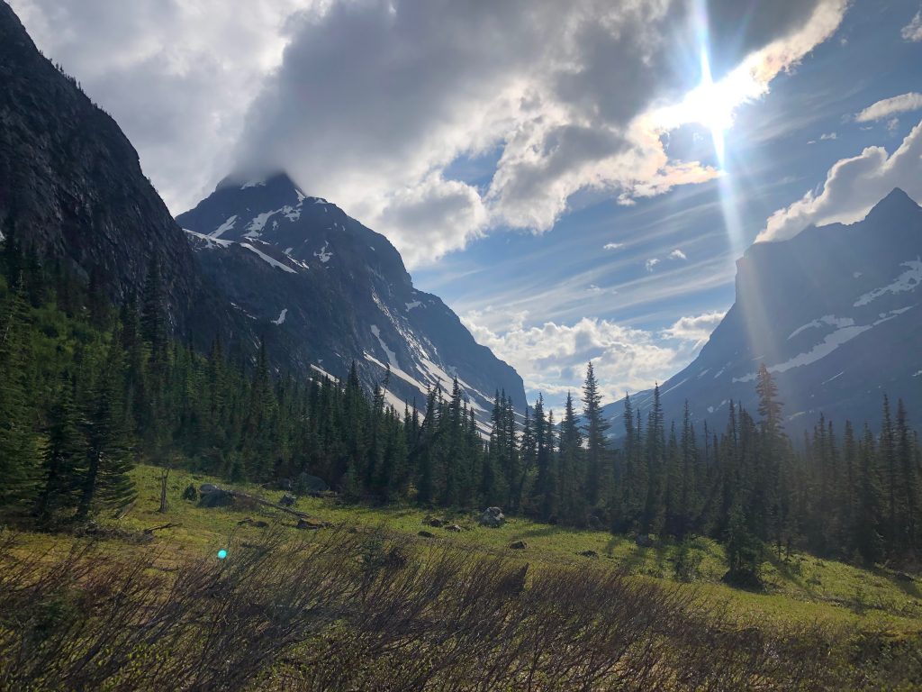
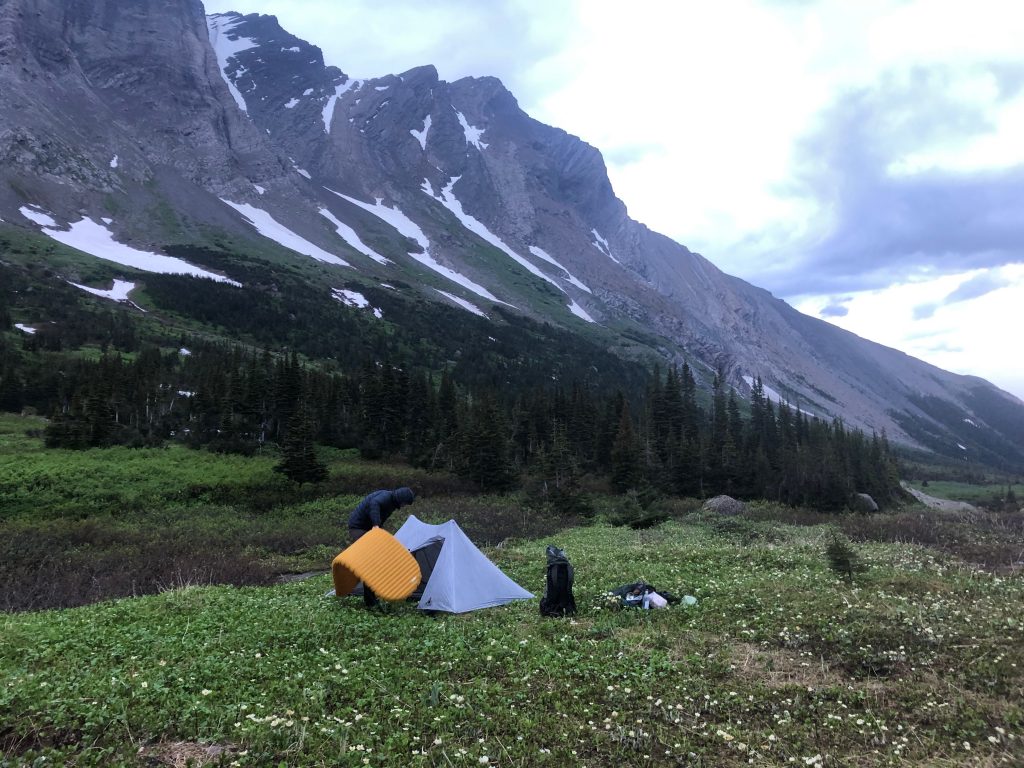
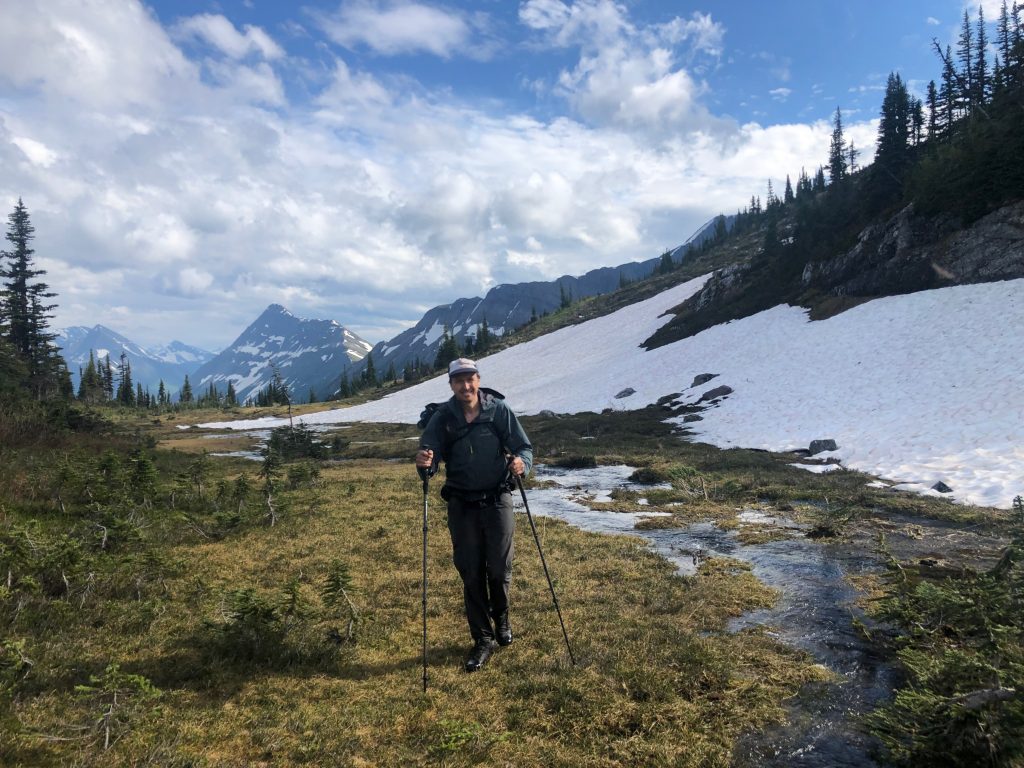
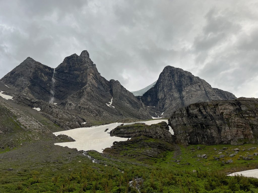
Day 6 – 30 km
Entering Monkman Park are the Limestone Lakes – a series of 3 huge and gorgeous lakes. On the satellite imagery they look like alpine lakes but that appearance is deceiving because their elevation is relatively modest (4600′, with treeline typically at 5400′. The minimal forest is due partly to the numerous avalanche slide paths around the lake, leaving them surrounded by quite a bit of willow and sometimes alder. We worked our way around the north side of the first one encountering slow but tolerable progress.
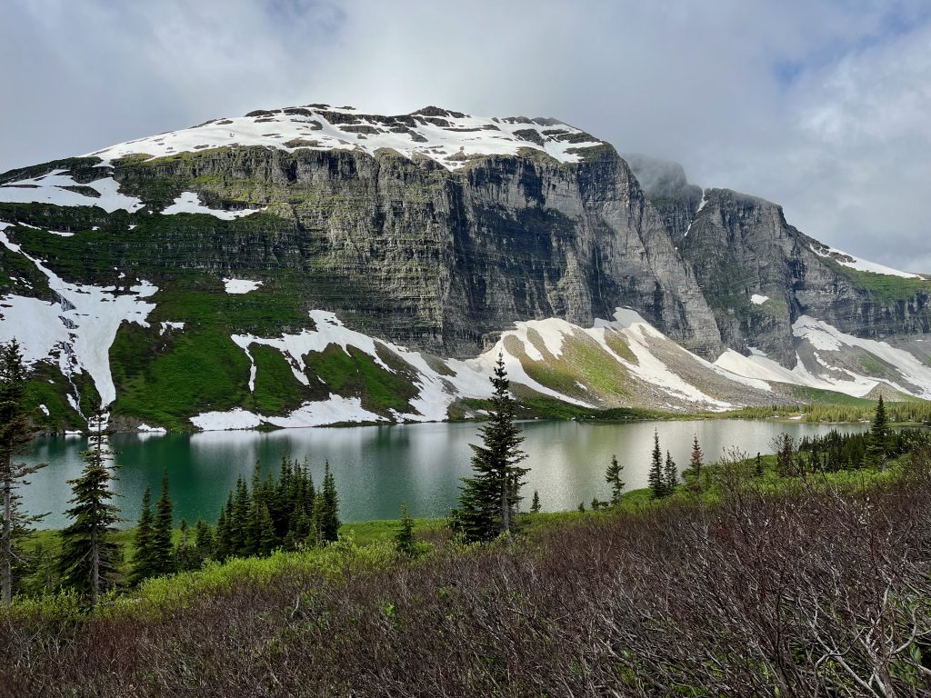
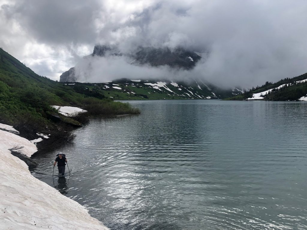
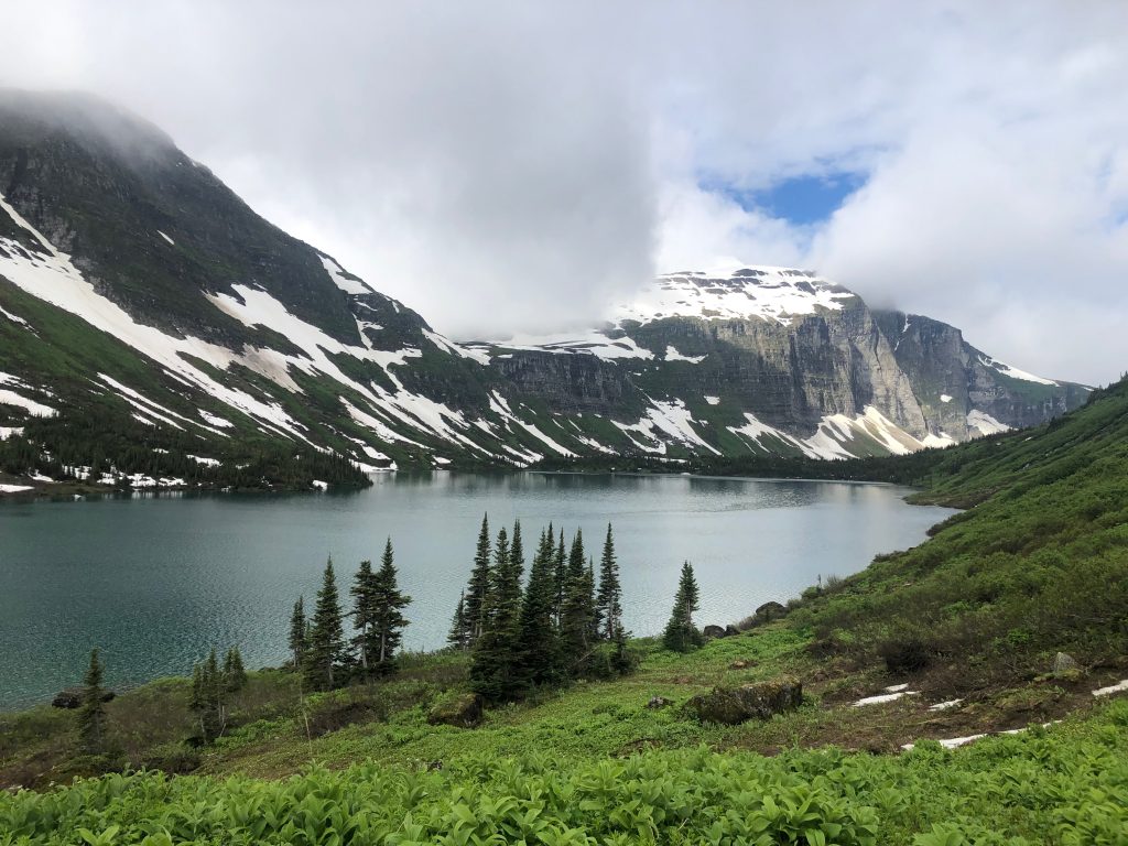
We continued around the second lake and then at the third lake briefly started up the wrong side (the cliff strewn north side) but wisely backtracked to the friendlier slopes on the southern shore. This third lake is quite interesting because it is drained not by a creek but rather by a sink hole. This means the outflow doesn’t rise and fall with the lake level, but rather remains at a constant rate. This results in very low water in the lake by the late season (which I knew) which provides easy travel on the dry lake bed by late summer, but also means that during spring snowmelt the lake cannot drain fast enough like a normal lake does, and thus the water levels rise massively (which I didn’t realize). With our arrival near peak snowmelt, we found the third lake extremely full such that large trees that normally rim the lake were fully submerged. It was quite a marvel to see the lake perhaps 30-40′ above it’s normal waterline. Thus, instead of a leisurely walk around the dry lake bed it was a long push through the forest for us. The travel felt slow but we must have been doing alright because we still logged 30 km this day.
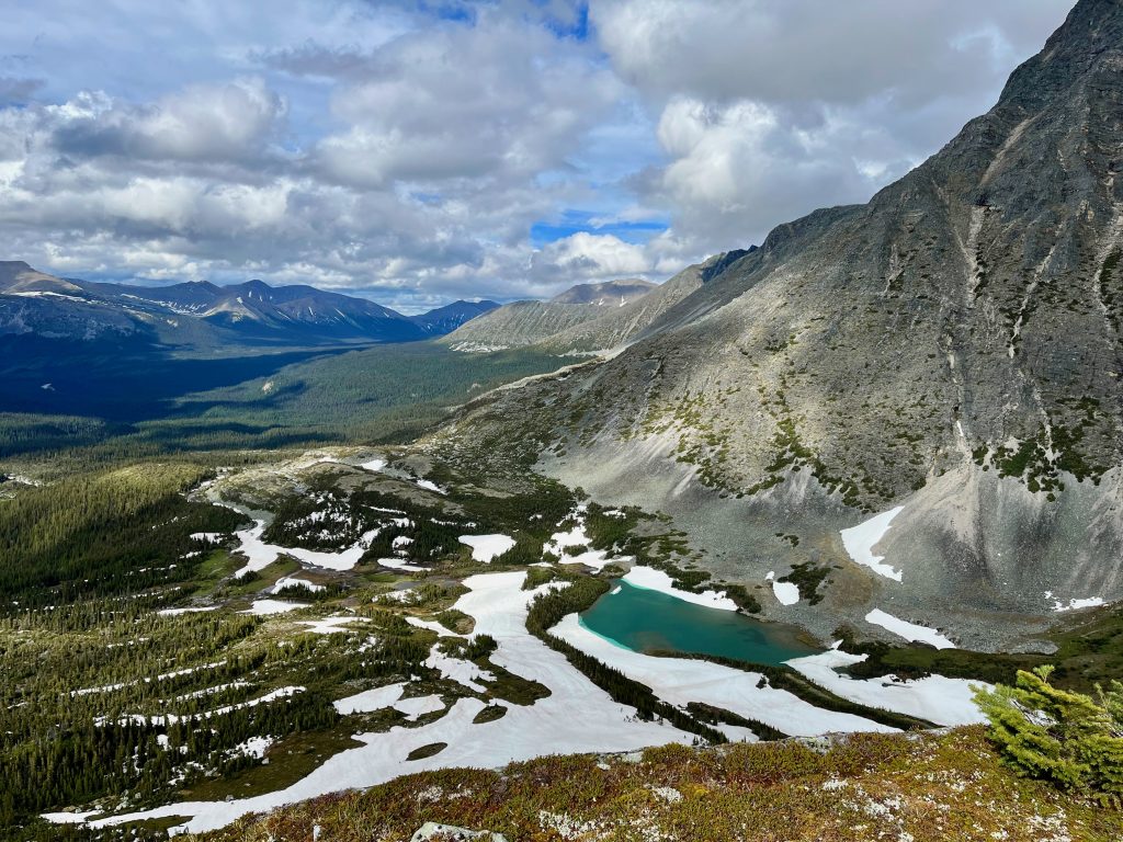
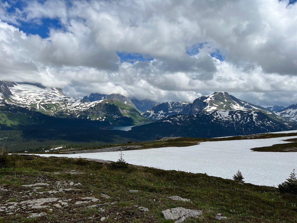
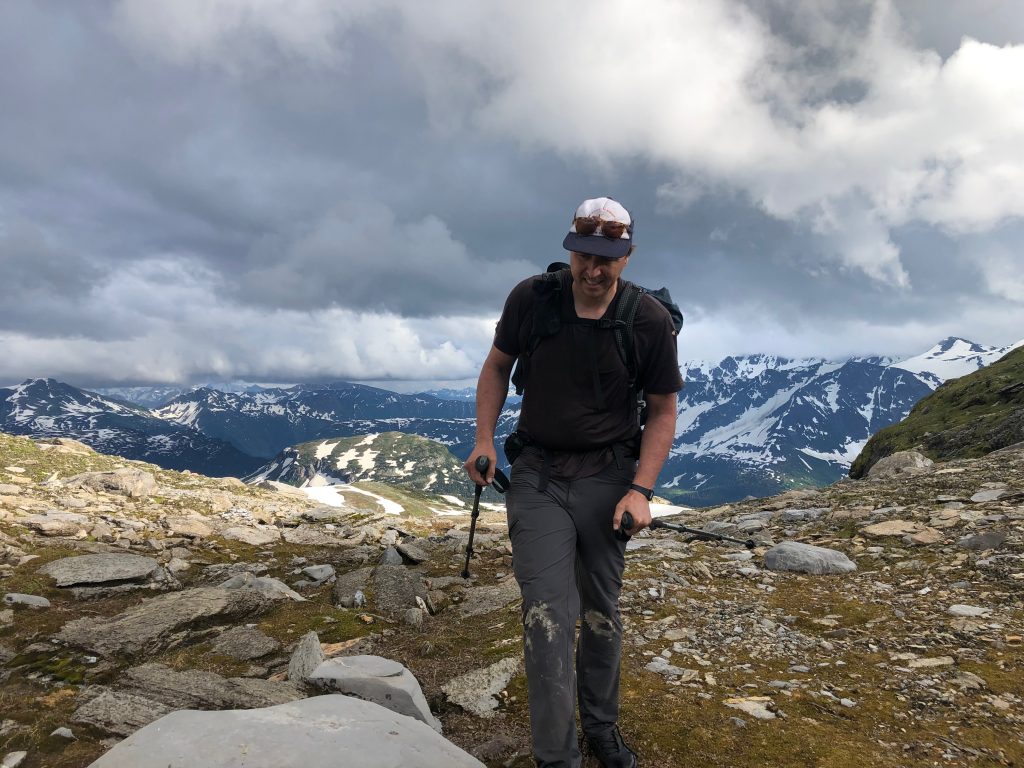
After the final Limestone lake we climbed 1000′ up to a gorgeous alpine ridge where we looked back on the lakes. At this point we stopped for a break at the top (I think our first sit down break of the trip). Soon we were off again travelling right on the divide for a scenic 10 km to reach a high pass that was the last crux of the trip. We crested the pass at 6:30 pm while working very hard (see the traces of my nose bleed in one photo below).
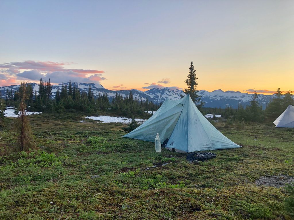
From here the intensity and commitment of the trip that had been a mainstay until now faded into a sense of relief and accomplishment. All we had left was a friendly walk across the gorgeous and relatively flat Monkman Tarns alpine area to reach the Monkman Memorial Trail, which would deliver us 28 km to the trailhead. It may have been a good idea to camp near here, but the travel ahead was easy and I wanted to catch a glimpse of the Mt. Barton/Vreeland icefield that is the final icefield before the Northern Rockies and marks the end of the continental divide in the Rockies. Ben and I wandered forward in the still evening air and took advantage of the long daylight to walk a further 2.5 hrs across the tarns and then set up camp during the alpenglow.
Day 7 – 33 km
With the uncertain portion of the route complete, we took a leisurely morning and let the sunlight dry our tents before breaking camp at 8:30 am. Half an hour later we arrived at the start of the trail, which was relatively faint and often buried by snow but still an amazing aid after 5 days without such assistance. The trail was faint to Monkman Lake but we made good time and stopped for a swim at 11am. Soon after we came across other hikers which a bit of a shock after so many days in the wild. Around 5 pm we arrived at the busy trailhead and were greeted by Kevin Sharman who had assisted us in planning the trip and also provided a neat historical connected as he had also assisted Walkin’ Jim with resupply over 20 years earlier. Kevin treated us to homemade pizza and we spent the evening telling the stories of the trip.
Advice to Future Travellers
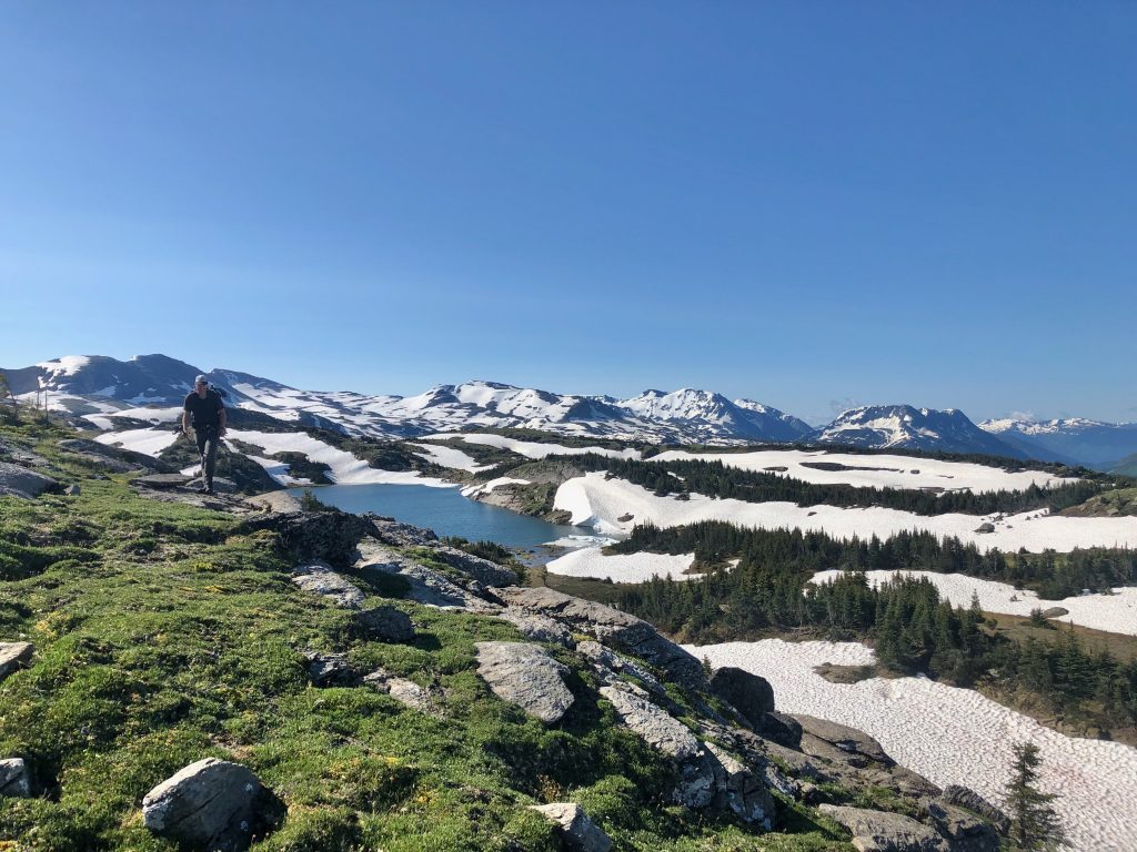
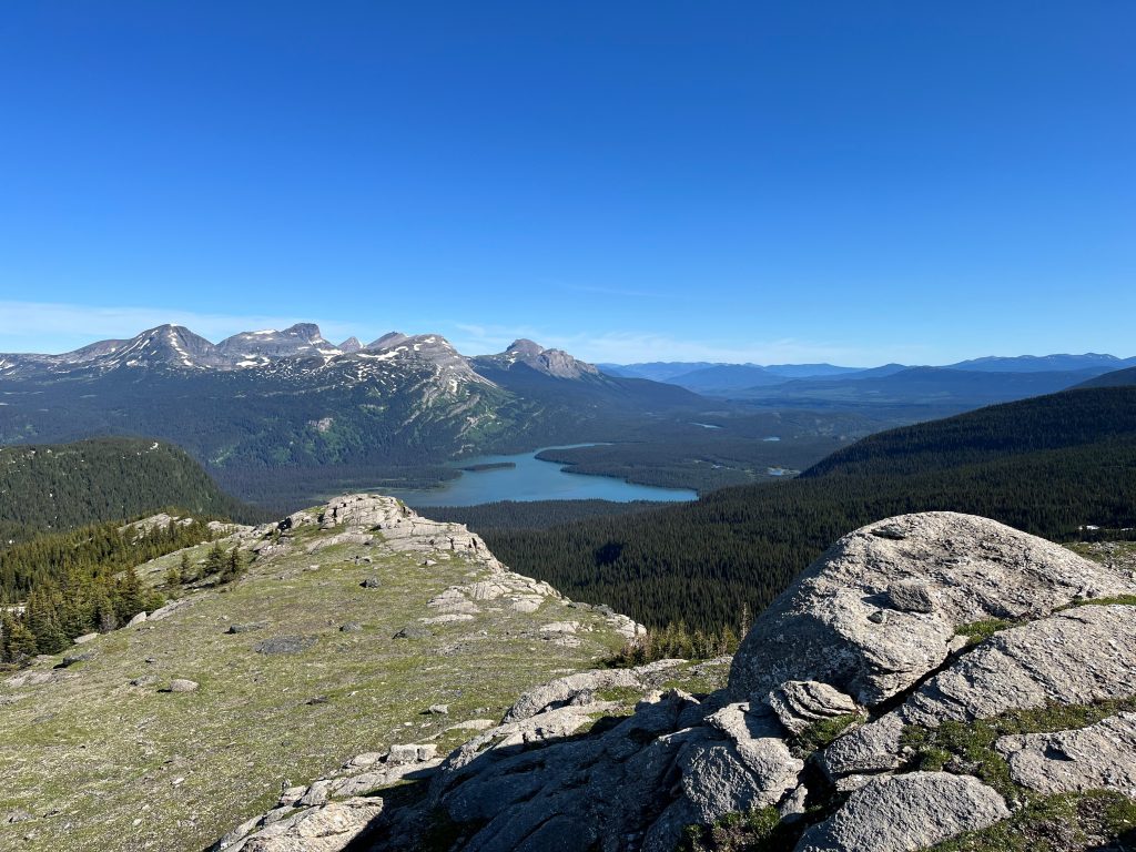
The section of the divide from Kakwa to Monkman is a remarkable section of terrain. The quality of the terrain lacks nothing compared to the more populated areas in the Rockies to the south. Of particular note are the large alpine lakes which occupy stunning settings and are more abundant than elsewhere along the divide in the Canadian Rockies. We also were impressed by the quality of the meadows, which we expected to be boggy this far north but often provided sure footing and fast travel.
To the experienced adventured, I can enthusiastically recommend the section of the divide from Kakwa to Warner Pass (via Walkin’ Jim’s exit). It is a stunning and incredible wild section of the Rockies where the rewards are plentiful and the hardships are relatively few, with only the Narraway Valley laying as a substantial impediment (even that wouldn’t have been too bad if we had nicer weather).
The final third of the GDR route from Warner Pass to Monkman has a less favorable ratio of reward to hardship, but is awesome in many areas and worth travelling for those seeking wild places. It would be ideal to travel this section via Walkin’ Jims route (see map; via Warner Lake to Tuck Lake) and do so later in the summer so that lower water levels at Limestone Lakes make for easier travel. Between Warner Lake and the Monkman Tarns the travel is rarely easy, but also is rarely that bad and there are regular attractions to offset the 2-3 days of effort (notably the north face of Weaver Peak, Limestone Lakes, and the Monkman tarns).
Access
For a hiker arriving to this area via the Great Divide Trail, you can resupply at Blueberry (long haul), Kakwa Lake (long way out the Walker FSR), our our eastern approach (Two Lakes Road) but perhaps the best option is to detour over to Grand Cache from Big Shale Hill (see map) and then return via the Sheep Creek Trail which leaves a little over 200km to Monkman.
For a hiker attempting only this high route section, there are access roads to the southern end from the west (Walker FSR) and east (Two Lakes Road) where the eastern access is both a shorter walk and leaves a much quicker car shuttle to the northern end. Cars can drive the Two Lakes road to the 2WD trailhead at Lick Creek, while some vehicles will make it further to Deadhorse Meadows 4×4 trailhead, but it is difficult 4WD and crosses unbridged creeks that are too high until late season. My map also sketches on a ‘horse trail’ from the Lick Creek trailhead to join the GDR near Jarvis Lakes. Only the first half of this trail is shown on maps but the full route was mentioned in the journal at the Jarvis Lakes cabin where one horse party spoke of using it on two occasions in the past 5 years and claimed to have maintained it, so it may provide a slightly shorter and more pleasant access from the east but the actual conditions are quite uncertain.
Gearlist
Thanks Dan, so beautiful view ~